Sustainability
Strategy to support a sustainable future
Sustainability is at the heart of the proposals, with the following measures integrated into the proposals to meet both Brentwood Borough Council’s and Welbeck Land’s sustainability goals.
Commitment to sustainability
Sustainability goals
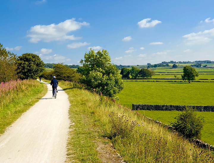
- The promotion of sustainable travel and transport through enabling the use of public transport, with access to the existing local walking and cycle routes network
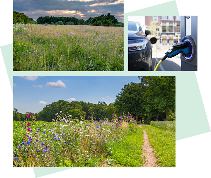
- The inclusion of measures to reduce carbon emissions beyond standard requirements, including the promotion of high levels of energy efficiency, the use of renewable energy where suitable, and mechanical ventilation with heat recovery (MVHR) systems where appropriate.
- The incorporation of sustainable features such as waste management, water efficiency, natural materials, secure cycle storage, and electric vehicle (EV) charging.
- The integration of best practice in energy and sustainability, with careful attention to layout, street design, and plot orientation.
Flood mitigation
Helping to prevent flooding
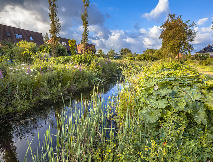
The proposed surface water drainage strategy will use sustainable urban drainage systems (SuDS) and attenuation basins to capture, control and release water generated onsite, back to pre-development greenfield rates.
The system is designed to manage severe weather that happens very rarely, such as a 1-in-100-year storm event and to account for climate change.
The proposed SuDS features have been designed to also promote biodiversity and are located in suitable locations throughout the development to capture surface water runoff.
Landscaped-led scheme
Creating vibrant community spaces
With landscape at the heart of the proposals, it will deliver circa 6 hectares of public open space, which is currently inaccessible to the community.
Extensive landscaping will create an attractive setting throughout the development, complemented by a dedicated community garden/ allotments and a play area for new and existing residents to enjoy.
Alongside this, the proposals are designed to deliver at least a 10% biodiversity net gain on-site through the retention of as much flora as possible, species rich planting, ecological enhancements and extensive landscape buffers.
Additionally, the ecologically sensitive central watercourse running through the site will be retained and safeguarded.
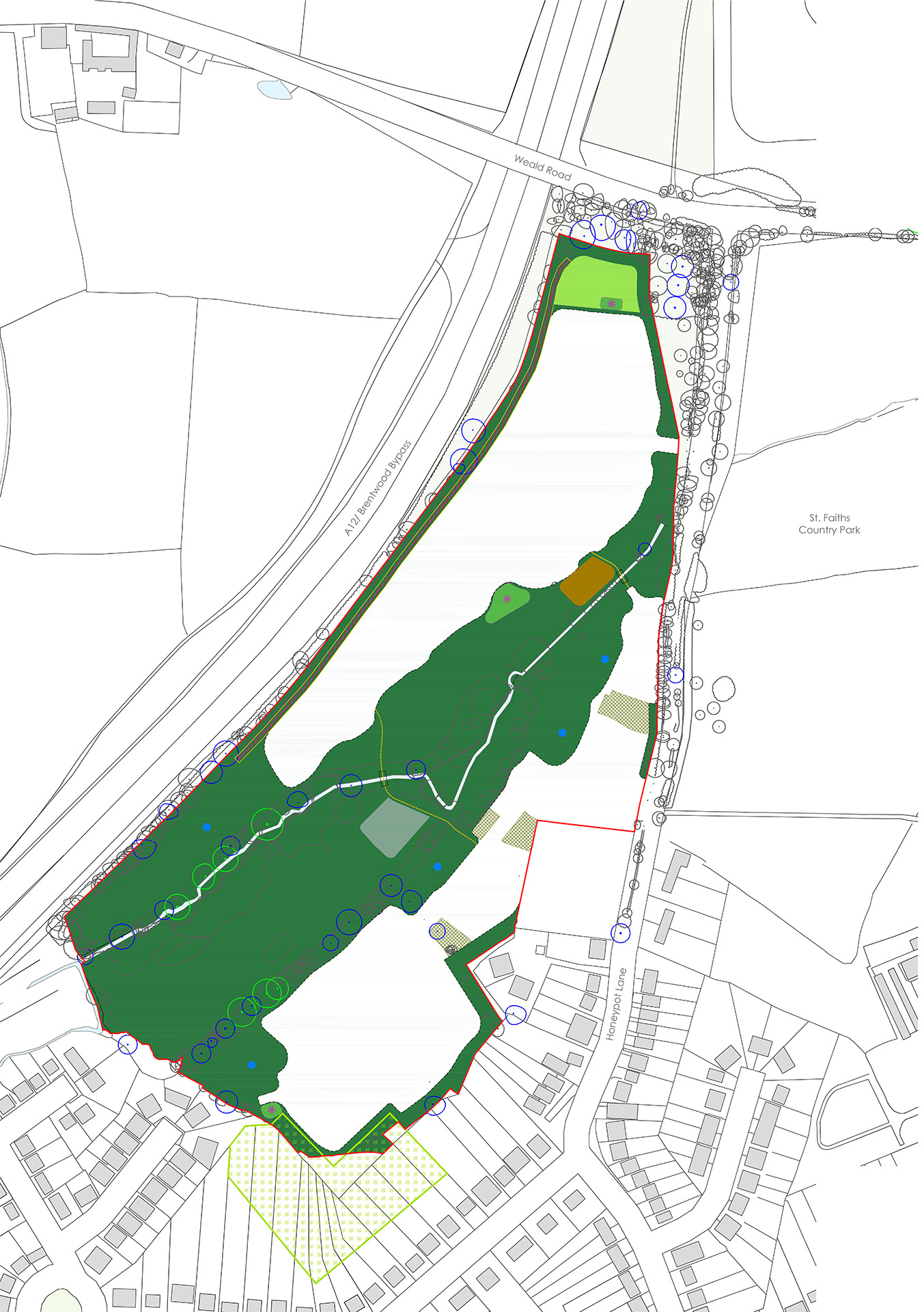
 Application boundary
 Formal Open Space
 Amenity Green Space
 Informal & Natural Open Space including SUDS and attenuation basin
 Children’s playing space
 Allotment & Community Garden
 Proposed indicative location for attenuation basin
 Surface water flood area
 Proposed noise barrier and 2m service margin
 Proposed crossing and pathway over existing stream
 Existing trees and hedges
 Tree Preservation Order